The plans come from a consortium led by Reading-based Unified Traffic Management and software provider Altitude Angel.
Richard Parker, Altitude Angel, CEO and founder:
“This is the most ambitious transport project proposed for the country since the advent of the railway network in the 18th century Britain is at the forefront of a second transport revolution. Drones have the potential to transport goods in a way our ancestors could never have imagined but would have surely understood. Britain can lead the world in these innovative and life-saving technologies, we have the skills and ambition to open our skies to safe and secure drone and air-taxi flights.”
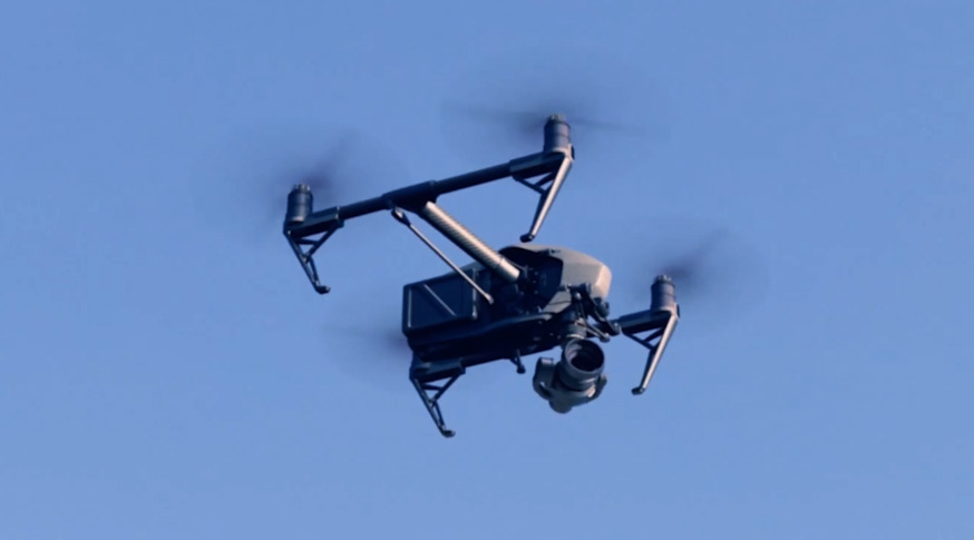
The consortium are planning to build the world’s largest and longest network of ‘drone superhighways’ which would link towns and cities across the UK – initially connecting the Midlands with the Southeast and those urban conurbations along the UK’s south coast. UTM and Altitude Angel have submitted plans for a ‘165 miles (265km) drone superhighway’ connecting airspace above cities including Reading, Oxford, Milton Keynes, Cambridge, Coventry, and Rugby.
If the plans are approved there is an option to extend the superhighway to Southampton on the south coast and Ipswich on the east coast. The blueprint for the superhighway, known as Project Skyway, will enable businesses to develop and grow through the commercialisation of new and innovative drone-based products, processes, and services. A decision on whether to green light the project is expected in the coming weeks.
Richard Parker:
“With the government’s support, using this technology as its foundation, we can create networks spanning the length and breadth of Britain, a super-highway-network-in-the-sky, providing a critical digital infrastructure which will, in-turn, enable the world’s first truly national drone economy.”
The UTM will enable flight requests, approvals, deconfliction and provides a single-source-point-of-truth for all traffic on the Project Skyway corridors through combined manned and unmanned situational awareness. Project Skyway makes this combined air picture available to larger groups of airspace users through existing solution providers, such as those providing existing planning and tracking products to, e.g., GA and commercial air transport.
Once the initial UK highway is established, Altitude Angel will make available the technology to allow any organisation, airport, town, or city in the UK or beyond, which wants to establish and operate a ‘superhighway’ to do so quickly, easily, and cost-effectively through a simple licencing agreement.